1.2 To analyze locational distributions and spatial patterns
3.3 Where will the map be used?
4.2 Issues of generalization, simplification, and abstraction
B. Elements that are sensitive to context:
C. Elements used selectively to assist effective communication:
4.4 Elements are balanced within the visual hierarchy and frame of the map.
4.5 Experiment with map layouts.
4.6 There should be a defensible reason for each element placed on a map.
4.7 Less is more.
hue,
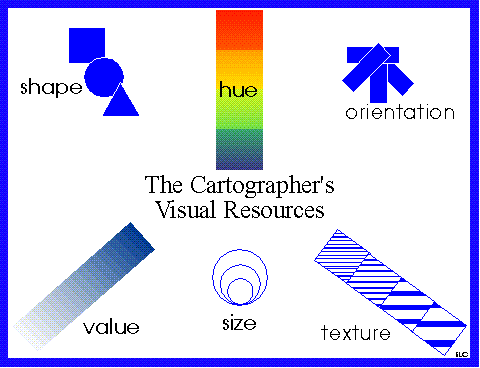
size, shape, value, texture, orientation
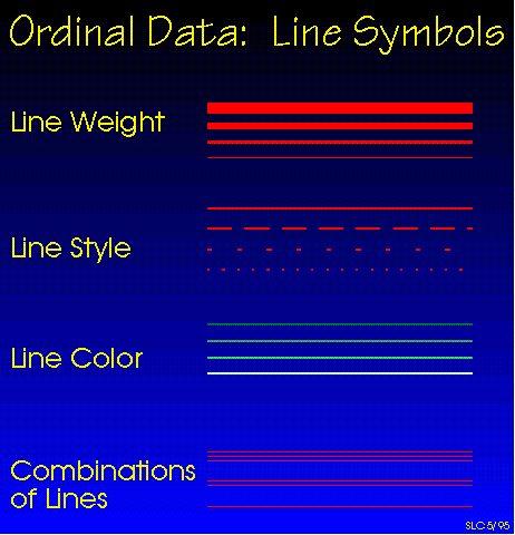
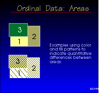
5.2 Strategies of symbolization
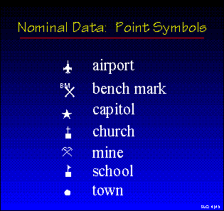
Points
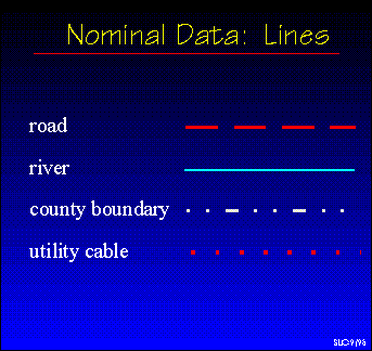
Lines
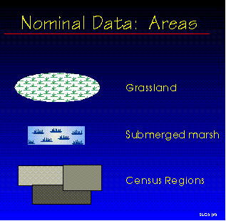
Areas
Points
Lines
Areas
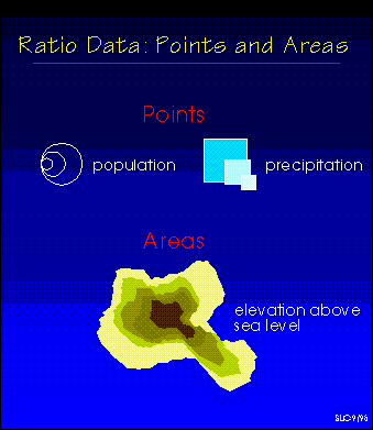
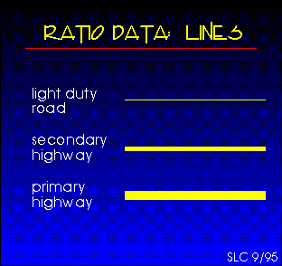
d. ratio data
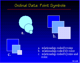
Points
and areas
Lines
b. form
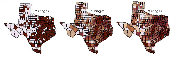
Comparison
of
maps using different numbers of categories
6.3 Exploring the data and its "shape"
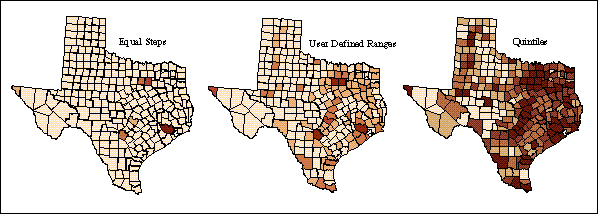
6.4 Commonly employed ranging methods
b. quantiles
c. percentiles
6.5 Symbolizing the category ranges
6.6 Statistical annotations may be needed for some complex datasets
7.2 Consider availability of needed functions and ease of use.
7.3 Be aware of the problems of designing for particular output devices.
7.4 Experimentation and multiple iterations are often required.
Comments | Geography Home Page | The Geographer's Craft | The Virtual Department
Revised 2014.9.11. KEF